MTEOR 311 WEEK 14 SUPPORTING MATERIAL
Week 14 - Use of satellite and radar data
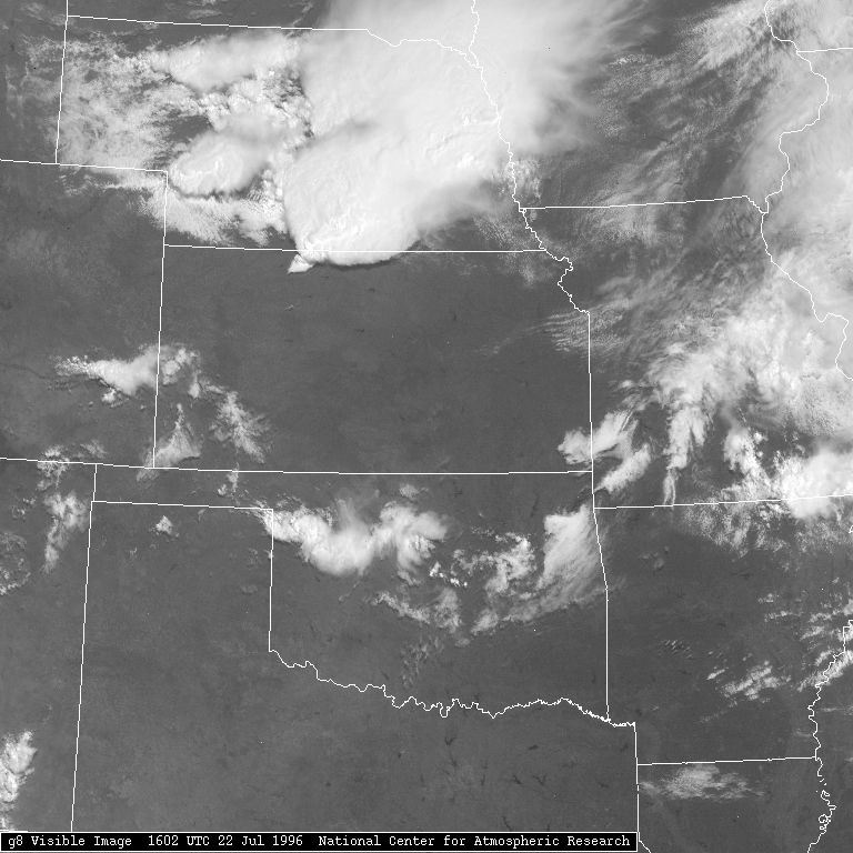
Look at the current visible satellite image. What areas have the whitest clouds? What does this mean?
Current Visible Satellite Image
Look at the current infrared satellite image. What areas have the whitest clouds? What differences are there from the visible image? What do the differences mean?
Current Infrared Satellite Image
Look at the current water vapor satellite image. Do you see more or less detail than in the other images? Think about why that may be the case.
Current Water Vapor Satellite Image
Satellite image of intense thunderstorms in Plains
Tutorials
Satellite Tutorial (Univ. of Illinois)
CIRA Satellite Tutorial
Samples of Satellite Images (Paul Sirvatka, College of DuPage)
Differentiating subtle satellite features (CIMMS)
RADAR
Radar Tutorial (Univ. of Illinois)
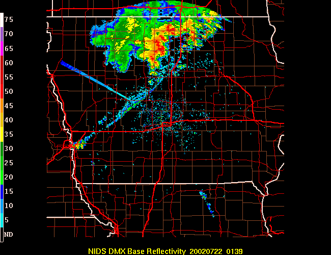
Can you guess what is going on in this radar image? (HINT: look at the date/time)