MTEOR 411/511 WEEK 5 SUPPORTING MATERIAL
Week 5 - Thermal Wind, Thickness
The name "thermal wind" is somewhat misleading since it is not an approximation to the real wind in the way that geostrophic or gradient winds are. However, thermal wind is a powerful concept because it shows how the wind shear is related to horizontal temperature gradients. Thermal wind is simply the difference vector between the geostrophic winds aloft and the geostrophic winds at some lower level. Its computation involves vector subtraction, so remember that you must break the geostrophic winds into u and v components to compute it. The thermal wind is oriented so that colder air lies to its left. The thermal wind can be used to explain why backing (veering) of geostrophic winds with height is associated with cold (warm) air advection.
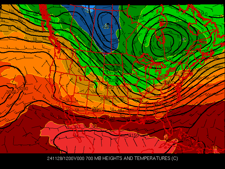
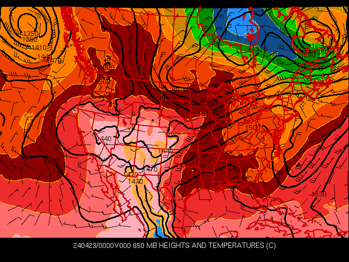
Thickness is simply the difference in heights between two pressure levels, and it is a function of the mean temperature. Thus, thickness and temperature are often used interchangeably. Most forecasters are aware of thickness because tools such as the 1000-500 mb thickness have long been used as a guide to where snow will fall instead of rain.