MTEOR 417/517 WEEK 11 SUPPORTING MATERIAL
Week 11 - Tornadogenesis and warnings
Discussion about DRCs (blobs)
GR depiction of DRC (blobs)
Excellent site with sfc and upper air maps of major tornadoes in USA from 1940-2004
Cool picture of cloud forming due to pressure drop associated with sound barrier being broken by jet plane (remember that tornado condensation funnel also occurs due to pressure drop)
The latest in Tornado Research and
ONE Storm showing the perfect mini-supercell
Dr. Doswell comments on tornadogenesis
Dr. Doswell comments on tornado definition
Picture of occluded older wall cloud with new one starting to produce a tornado out ahead (Dr. Doswell)
Pictures of tornado look-alikes (SPC)
AMS chapter talk on May 03 1999 Tornado outbreak
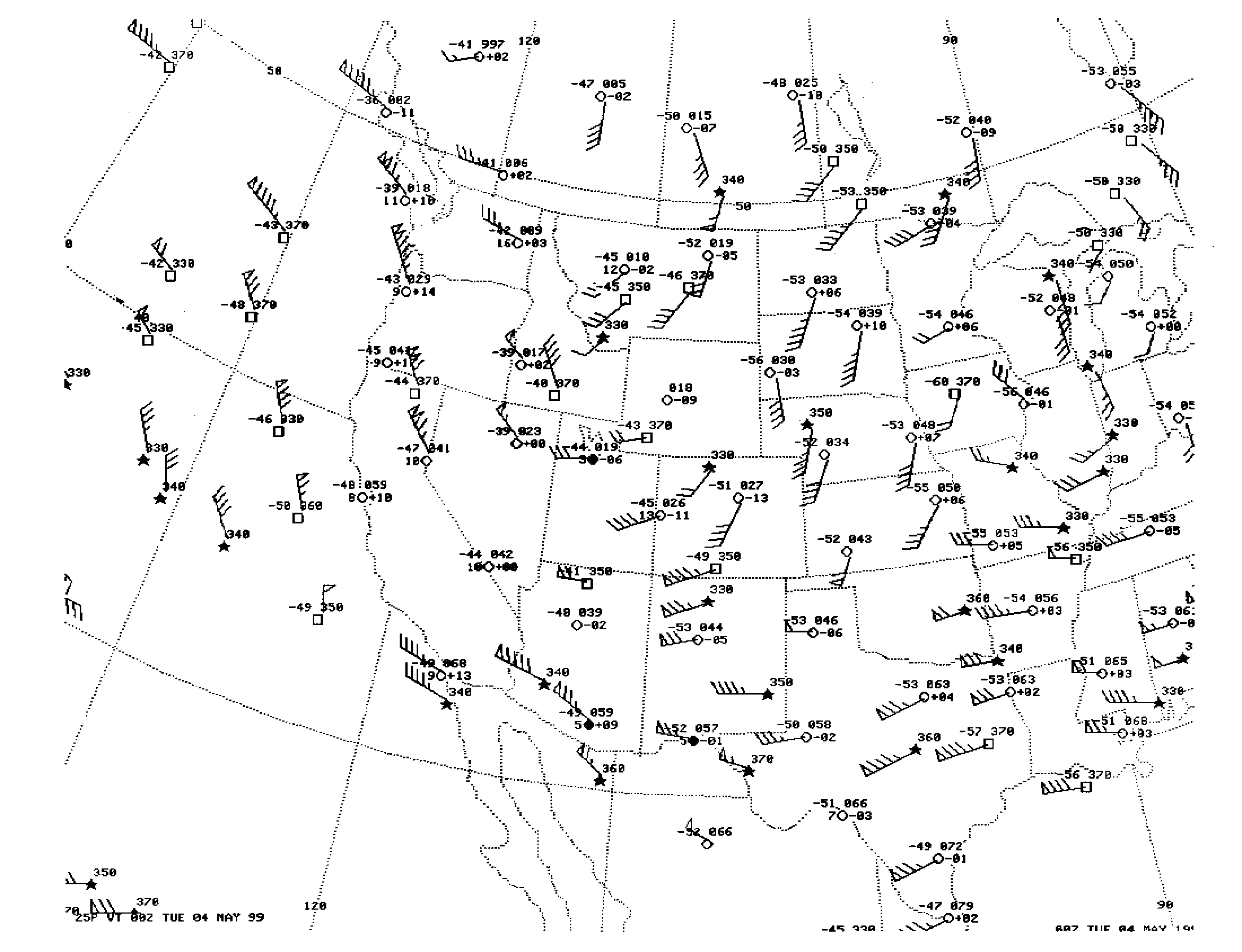
Observed 250 mb winds at 00 z May 04
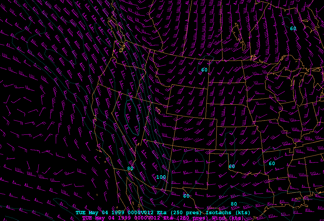
12 hr Eta forecast for 250 mb winds at 00 z May 04
24 hr Eta forecast for 250 mb winds at 00 z May 04
12 hr NGM forecast for 250 mb winds at 00 z May 04
24 hr NGM forecast for 250 mb winds at 00 z May 04
12 hr AVN forecast for 250 mb winds at 00 z May 04
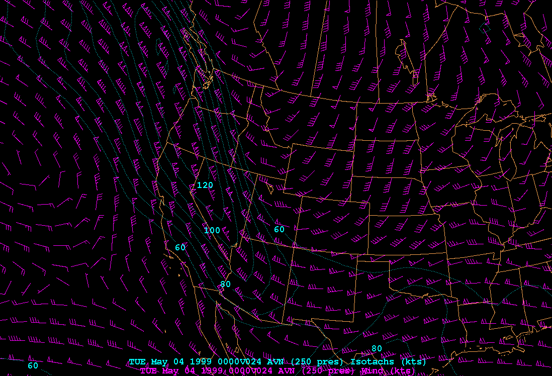
24 hr AVN forecast for 250 mb winds at 00 z May 04
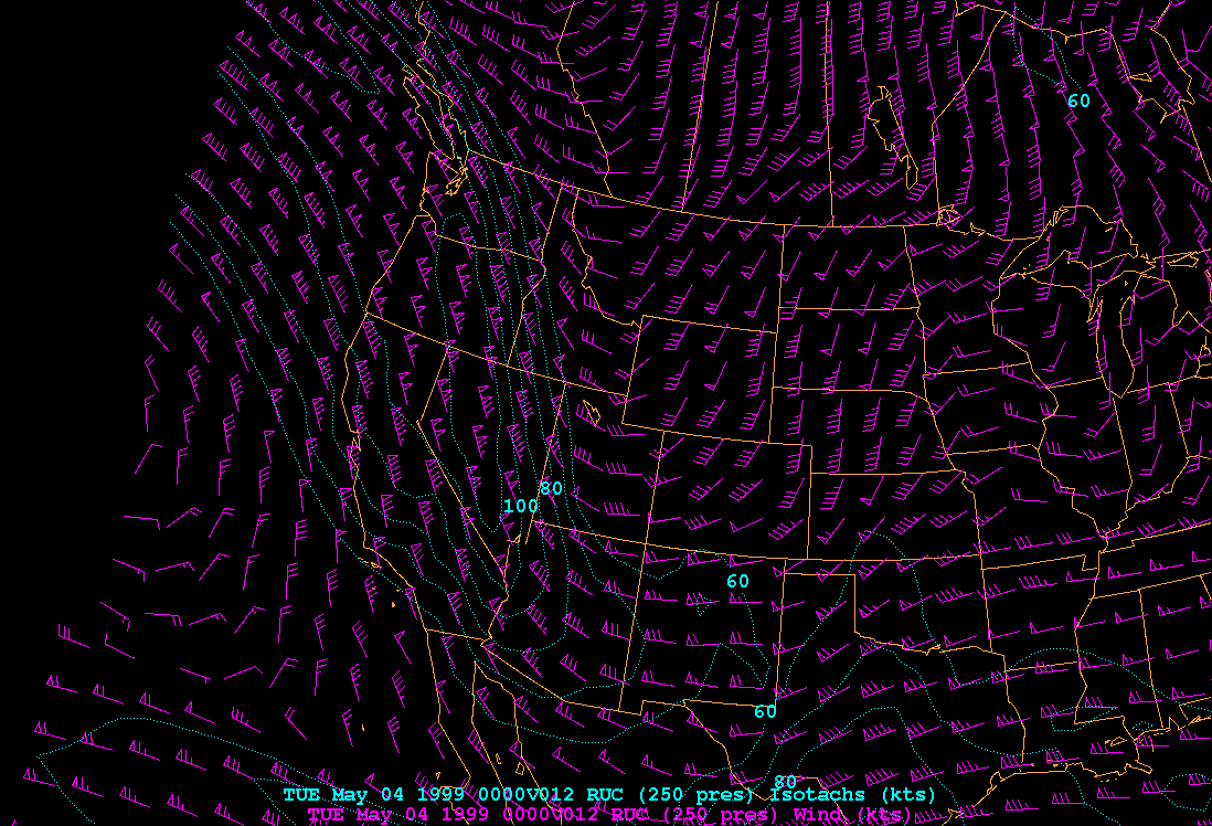
12 hr RUC forecast for 250 mb winds at 00 z May 04
Jayton, TX profiler on May 03
NWA 2001 graphics
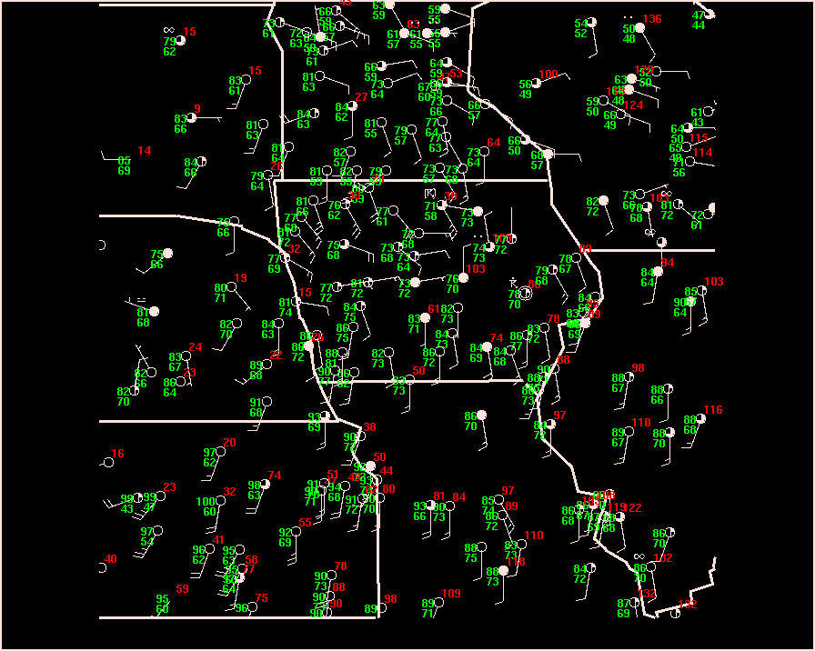
12z case 1 sfc
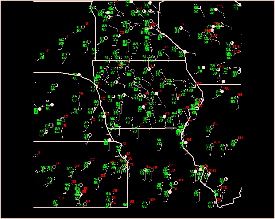
12z case 2 sfc
17z case 2 sfc
18z case 2 sfc
19z case 2 sfc
20z case 2 sfc
21z case 1 sfc
22z case 1 sfc
23z case 1 sfc
00z case 1 sfc
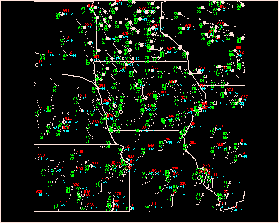
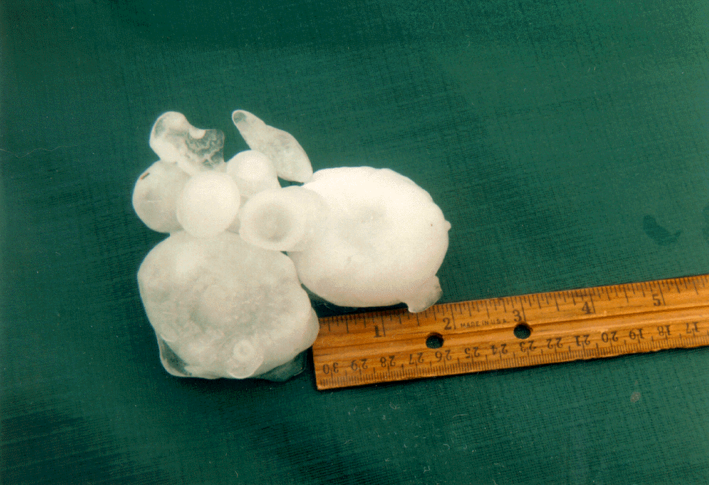
hail background
Lab 11 - map set 1
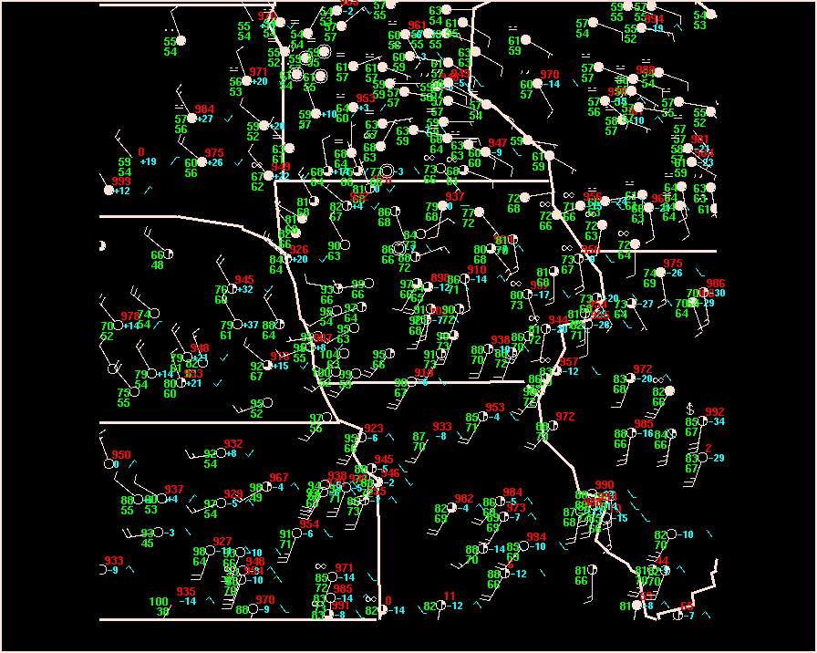
300 mb forecast for 12 UTC
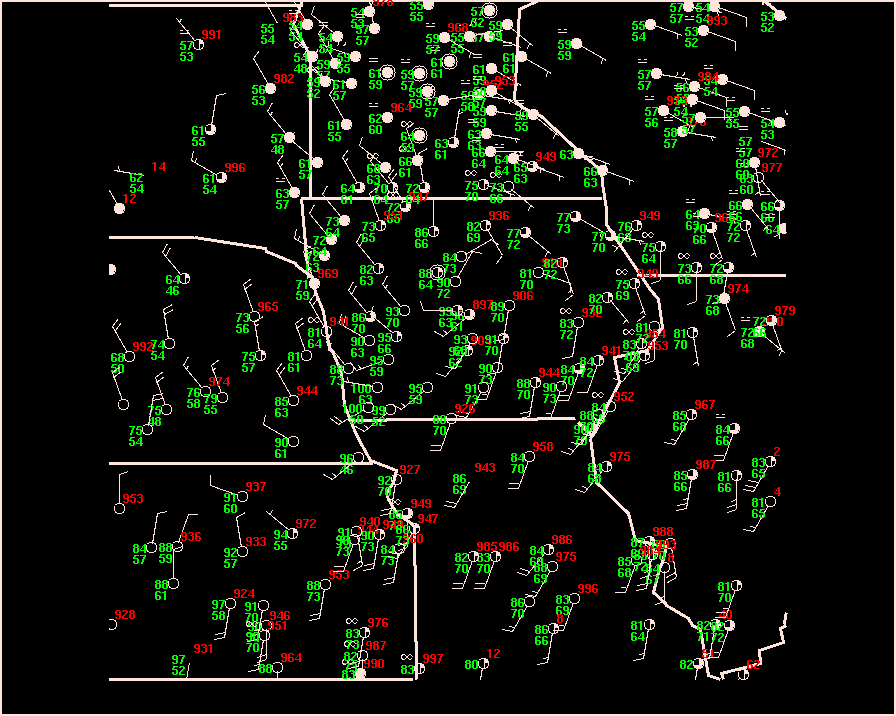
500 mb forecast for 12 UTC
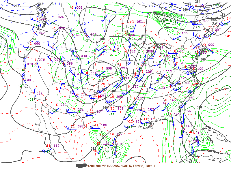
700 mb forecast for 12 UTC
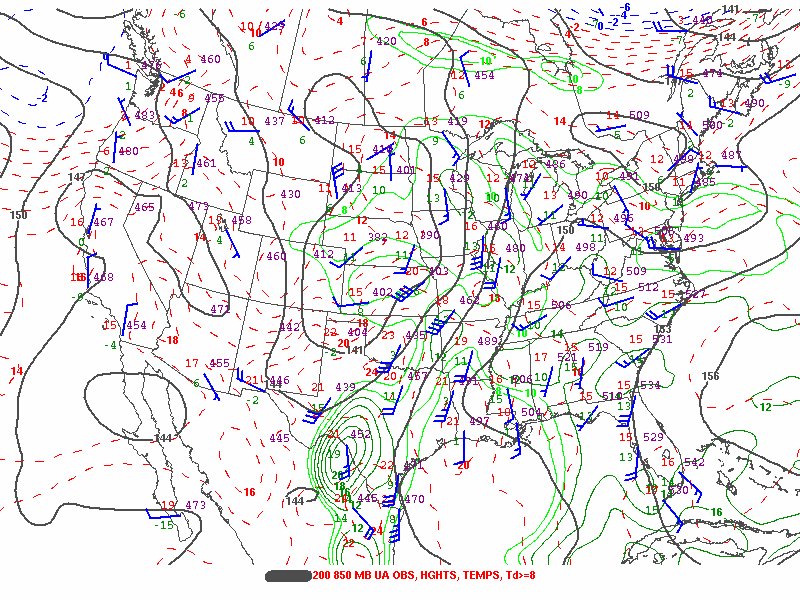
850 mb forecast for 12 UTC
Lab 11 - map set 2
DVN 12z sounding
LBF 12z sounding
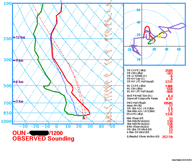
OUN 12z sounding
SGF 12z sounding
OAX 12z sounding
500 mb forecast for 00 UTC
NC KS
NC KS
SC KS
OK
OK
MO